
Stone terraces and walled villages built over centuries.
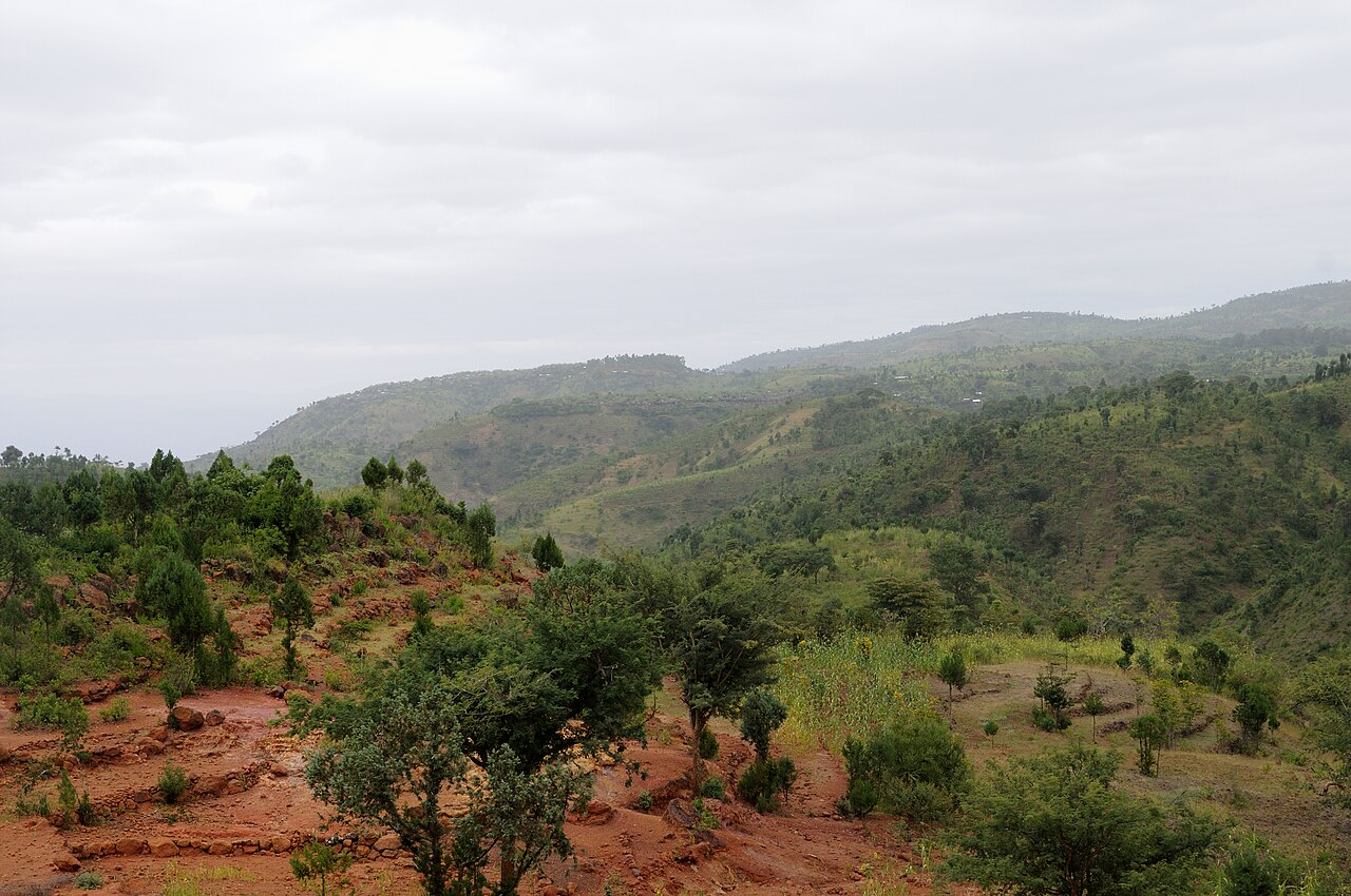
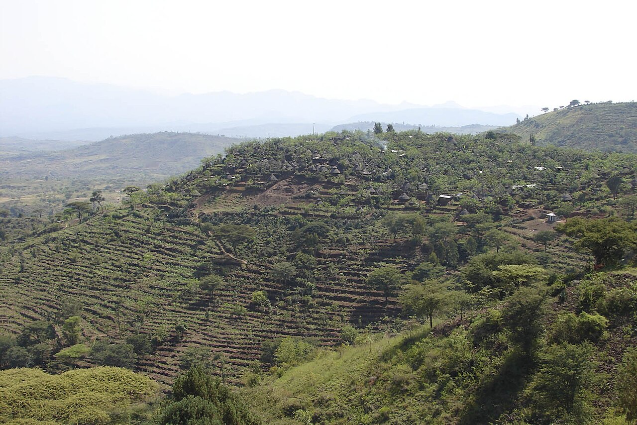
Read the storyAll sitesThe Konso people have farmed steep, dry hills for around 400 years by building long stone terraces that hold soil and water. The landscape was inscribed by UNESCO in 2011.
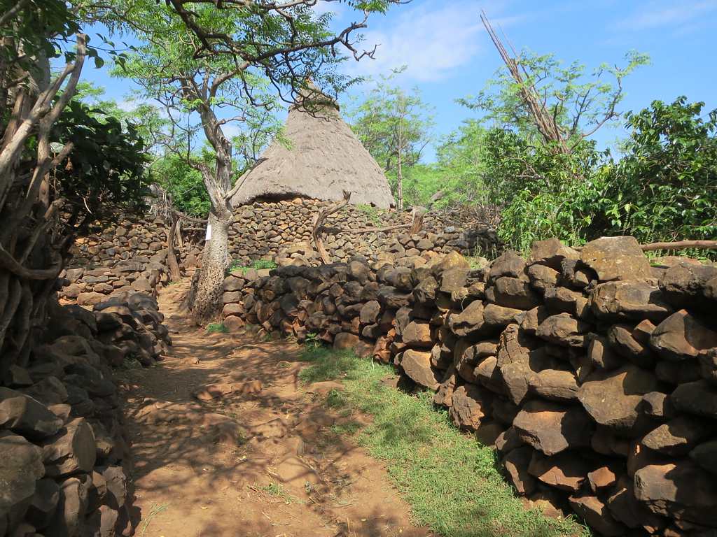
Villages are surrounded by stone walls and have shared meeting places. Carved wooden figures, called waka, honour respected community members. The system of terraces and village life is still in daily use.
In the Konso highlands of southern Ethiopia, south of the Rift Valley lakes.
Distance from Addis Ababa: Roughly 600 km by road. Approximate, so check on Google Maps.
Open in Google Maps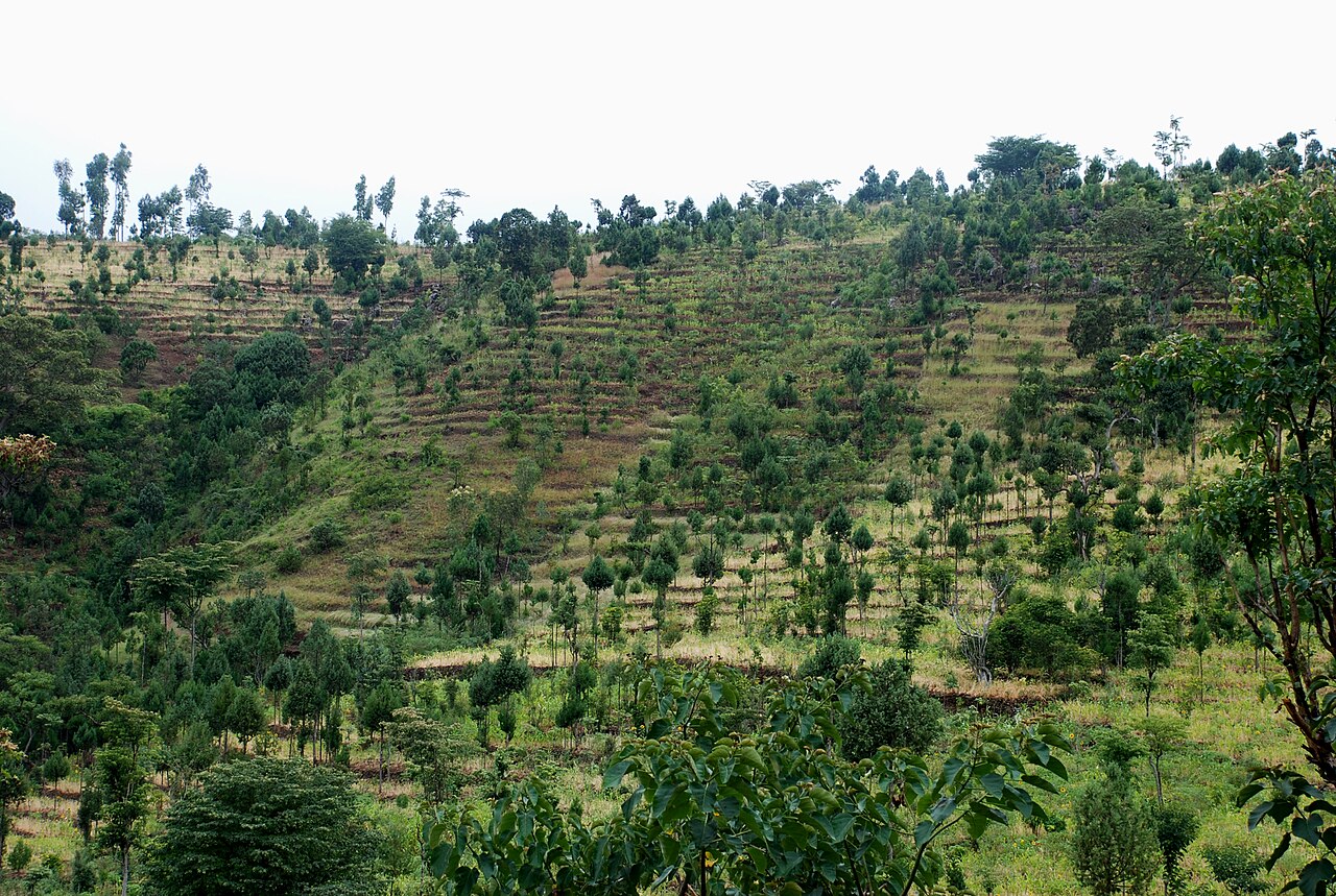
Karat. Karat is the main town of the Konso area. Arba Minch, the nearest larger town and a base for the Rift Valley lakes, is about 90 km away.
We are verifying hotel details for this area. Contact us and we will help you find a place to stay.
We plan trips and share what we learn.
Contact Us